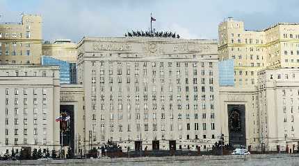
LONDON, Oct 4 (Reuters) - Russian defence ministry maps presented on Tuesday appeared to show rapid withdrawals of Russian invasion forces from areas in eastern and southern Ukraine where they have been under severe pressure from a Ukrainian counteroffensive.
The ministry's daily video briefing made no mention of any pullbacks, but on maps used to show the location of purported Russian strikes, the shaded area designating Russian military control was much smaller than the day before.
In northeast Ukraine, where Russia suffered a rout last month, its forces along a frontline running some 70 km southward from Kupiansk along the River Oskil appeared to have retreated some 20 km to the east, as far as the border of Luhansk province.
This would mean they had vacated the last remnants of Ukraine's Kharkiv province - where Russia for several months maintained an occupation administration - but for a small patch between the town of Dvorichna and the Russian border.
In southern Ukraine's Kherson province, Russia's line of control on the right bank of the Dnipro river had shifted 25 km southward on the map, to a line running westward from the riverside town of Dudchany.
Both areas are battlefields where Ukraine has been reporting advances, albeit without giving full details.
It would not be the first time that Moscow had acknowledged a withdrawal so obliquely. On Sept. 11, a map presented by the defence ministry showed that Russian forces had abandoned most of the parts of Kharkiv that they had controlled, as far east as the Oskil, after a lightning Ukrainian offensive.


